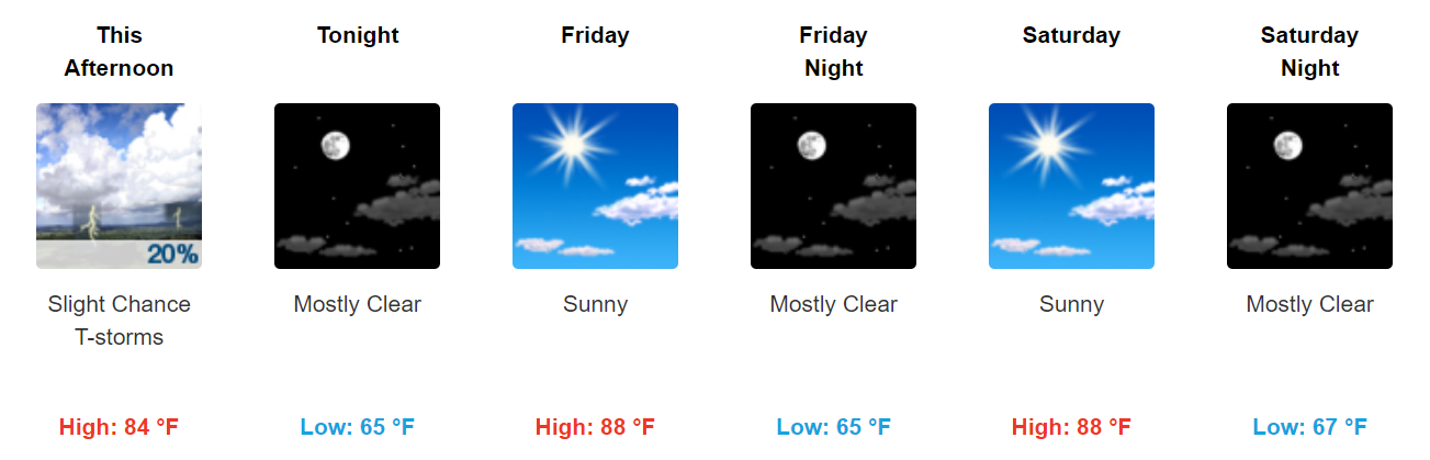
Chance for Showers/Storms Today; Pleasant Thursday-Saturday; Rain Sunday?

Wednesday

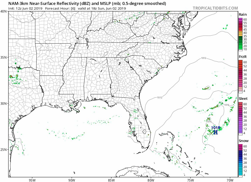
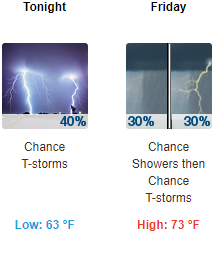
A chance for showers and a few isolated storms exists as an upper level system swings through the region.  It seems like the best chances will be just to our east but we can’t rule out a few stray showers that could pop up mainly between 2 and 8 PM. The National Weather Service echoes this: read more

Scattered Rain & Storms This Weekend; Dry Weather Returns By Tuesday

We needed the rain, but the timing is pretty bad. It couldn’t have waited until the work-week?

Embrace uncertainty and read below.

Weekend Overview

Scattered showers and thunderstorms will continue to impact the area throughout the weekend as an upper level low pressure system sits over Tennessee. read more

Cooler Monday; Warmer with Showers/Storms Mid-Late Week

Sunday

Remaining warm and humid with a high of 89° and dew points in the low 60°s. An isolated shower or thunderstorm is possible, but those should form southeast of us. Here is the latest NAM3 model:

This dewpoint chart shows how muggy it feels out there, with today feeling sticky. Not too bad. read more

Hot & Humid Conditions To Continue through Memorial Day; Next Chance of Rain Thursday

Sunday & Memorial Day

Remaining hot and humid with highs of 93 degrees both days. An isolated shower or thunderstorm can’t be ruled out due to the high heat and moisture in the atmosphere, but once again, we aren’t expecting anything significant. Be confident in any barbecue or pool plans.  read more

Hot & Humid Memorial Day Weekend

Temps are running around ten to fifteen degrees above normal.

Saturday & Sunday

Near record breaking heat expected with highs of 93 on Saturday and 94 Sunday.

If we hit 93 today it’ll tie the May 25 record set in 1926. read more

Hot and Humid Into The Weekend; Best Chance for Showers/Storms Sunday

Thursday through Saturday

Turning hot and increasingly humid with dew points rising into the mid and upper 60s…Yuck! A few isolated showers or non severe thunderstorms are possible but nothing widespread is expected.

read more

Rain Wednesday. Hot/Muggy Weekend.

Tuesday Night through Wednesday

Look for increasing clouds tonight and warmer with lows in the lower 50s.

Rain expected Wednesday by late morning, continuing through the lunch hour, ending by mid afternoon. High temperatures will reach into the mid 70s. read more

Few Showers Leftover This Evening; Rainy Weekend Ahead

Thursday Night and Friday

Mild and humid with isolated showers and a possible thunderstorm. Areas of fog overnight. Severe weather is not anticipated.

The latest HRRR thinks there won’t be much from this evening through tomorrow afternoon: read more

Next Rain & Storm Event Thursday. Weekend Wet, Timing Uncertain.

Tuesday Afternoon through Wednesday

Mid to upper 80s today (Tuesday) and Wednesday.

Wednesday will be the last good time to get any yard work done before higher humidity and rain arrives Thursday.

The NAM3 model thinks rain will fizzle before arriving Wednesday night: read more

Showers and Thunderstorms Today and Friday; Storms Continue Through Weekend

This Afternoon and Tonight

Warm and humid with scattered showers and thunderstorms developing, some of which may be strong to severe this afternoon.  Here is what the NWS says:

Shear will be on the weak side since we won`t be dealing with a surface low, but even 30 kts of bulk shear, coupled with around 7.0 deg/km mid-level lapse rates, could provide some isolated strong to severe storms later this afternoon. Nothing widespread, but it will be necessary to keep an eye to the sky if you have outdoor plans this afternoon and early this evening read more