


It was not earthquake. It was lightning!
At 3:39, multiple lightning strikes hit simultaneously around Nashville causing a very loud thunderous roar from Goodlettsville to Nolensville to Brentwood. Here are some still shots of the strikes from our cameras downtown, all taken from just a few frames of video. ^al pic.twitter.com/rlTfGzeg2x
— NashSevereWx (@NashSevereWx) December 27, 2018
Our Twitter blew up over it. Legit strike/shake/rumble, and there was more than one strike delivering Power.
Light, off and on rain should cause no trouble tonight, and may even be gone for the evening for your walk up and back at the Preds game.
Winds are relaxing.
Our Wind Advisory, originally set for 6 AM expiration, has been cancelled by @NWSNashville. Winds still gusty but relaxing overnight, falling below advisory criteria (gusts to 40 MPH).
— NashSevereWx (@NashSevereWx) December 28, 2018
Our strongest gust today was 48 MPH at 11:18 AM at BNA.
The Music City Bowl looks great. Rain should end Friday morning, in time for kickoff at 12:30 PM. Winds could still be breezy (sustained 8-10 mph), blowing from the west, coming over the buildings downtown and across the river. Winds to calm as the game goes on. Temps will stay around 60°, dropping into the 50°s during the day.
Friday night, wind will shift from the northwest, delivering cooler air for Saturday morning.
Drying Out, Cooler Saturday
Colder air established by sunrise Saturday – morning temps in the mid 30°s!
No rain expected as of now, high temps in the upper 40°s, it’ll be a great day to be out and about. That said, the Euro still wants to drive through a little overnight precip late Saturday night, something to watch.
Sunday – Monday Rain
Another system will be on the way, packing another 1″ or so of rain, the question is when it will get here.
It may arrive in time for Colts at Titans, kickoff 7:20 PM.
GFS model thinks rain might start during the game, though it would be light.
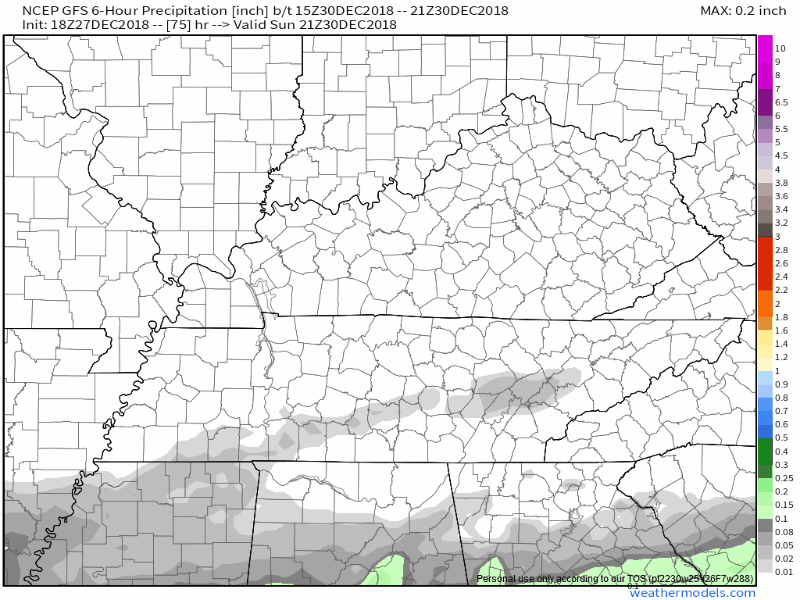
The Euro agrees, it thinks rain may start during the game. But of little consequence.
Sunday night temps mid/low 40°s.
NYE — during the day — looks like a total washout. There’s hope the rain will end before we party drop the guitar, crane, note, or whatever Nashville thing we drop in 2018.

 Log In To Facebook To Comment