


A light, drizzly rain has worked its way into Davidson and Williamson counties this morning. By now we should just be seeing rain fall, but a flake or two could be in the mix.
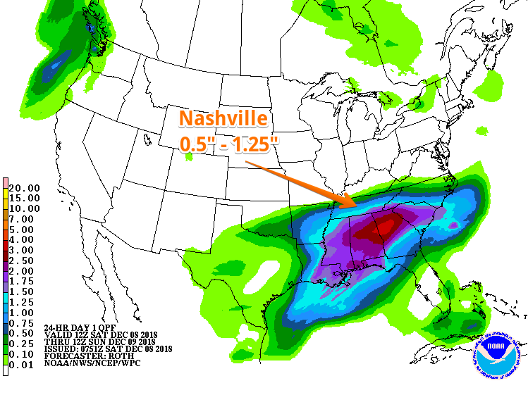
This drizzly mess will switch over completely to rain by late morning as it spreads over the midstate. Rain and moisture will push north, fighting against dry air as it goes. This will keep high precipitation totals to our south, where rain will fall more heavily.
Later this evening the surface low bringing moisture to Tennessee will track into the Florida panhandle. As it pushes east, cold air will begin wrapping into the moisture over us. That’s when we’ll begin seeing the changeover to frozen precip – snow, sleet, and freezing rain.
As of this morning, NWS Nashville had this to say:
Rain is expected to change to a
wintry mix of snow, sleet, freezing rain and rain across far
northern portions of the area this evening. To the south, all
rain.
The I-40 corridor still looks to be the dividing line between seeing snow and rain late tonight. And so because of this, a Winter Weather Advisory has been issued for northern counties in Tennessee – Davidson is included, but Williamson is not.
Winter Weather Advisory will go into effect tonight at 6PM and will remain in effect until noon on Sunday.
Sunday
By early morning, we could see the wintry mix spread across the northern half of the midstate, including Nashville. Across the counties in the advisory, snow accumulations are expected to be less than an inch.
After sunrise and temps begin to rise, any frozen precip should switch back over to rain.
Sunday evening, we could have another piece of energy push through from the north, bringing a few more snow showers. No accumulation is expected.
Stay tuned here and to Twitter for more updates with this event.

 Log In To Facebook To Comment