


Pretty Great Thursday

The early afternoon hours are expected to be breezy with winds out of the WSW until the winds shift into the SE on Friday when the rain begins to arrive.
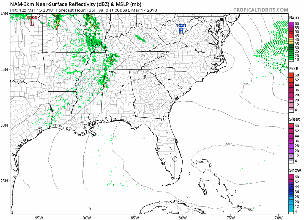
Rain Coming Friday Night
Current rain ETA is around 7 PM Friday night. At least that’s what the NAM3 model thinks:

A few of these showers could develop into thunderstorms, but nothing organized or severe is expected.
Rainouts will be possible for those unlucky enough to get the heavier downpours.
Rain should end before sunrise Saturday morning. Here’s the NAM3’s take on the entire rain event:
It’s also possible we will see a few weak showers drive through Saturday afternoon as a weak center of low pressure passes north of us, but otherwise we should be OK for Saturday.
Stay connected to us on Twitter for ETA changes.
We are also watching Monday afternoon and evening for the potential for heavy rain and thunderstorms. We aren’t ruling out severe weather, but currently we don’t think there will be enough moisture coming in from the south to make things too bad; however, if the parent low pressure center strengthens and moves further into the Ohio Valley, things could get rocky Monday night.
Stay tuned.
![]()
 Log In To Facebook To Comment