Rainy & Colder Tomorrow

Temp/Wind Chill, Rain, Snow next 48 Hours:

Sunday afternoon, the cold front was positioned to our NW:

First, notice the freezing rain area in SE Missouri. Regular readers here are will recall previous discussions of freezing rain potential as the cold front approaches Middle Tennessee. However, freezing rain does not appear to be a concern. It is completely missing from the afternoon forecast discussion, and there is no support in the models for any wintry precip shenanigans Monday night. read more

In-Laws-Who-Never-Leave Cold Front

Temp/Wind Chill, Rain, Snow next 48 Hours:

Sunday – Warm, Cloudy, Small Chance of Rain – High 66°

5,000 feet overhead, warm southwest winds are blowing at over 50 mph, transporting clouds and moisture. Meanwhile, here on the ground, winds are sustained around 10 MPH, gusting to 20 MPH, thanks to a tight pressure gradient from this long, positively tilted (band name!) trough to our northwest. It’s all seen here, in this not-that-easy-to-read surface analysis from 7 AM! read more

Warm & Windy (and advice for the kicking game for UT/Vandy)

Temp/Chill, Rain, Snow next 48 Hours:

Saturday – Cloudy & Windy – High 58°

Notice the red temperature line in the meteogram above. Usually, the temperature decreases dramatically after dark. That won’t happen tonight. We will hit our afternoon high of 58°, then stay in the mid 50°s overnight. The reasons: warmer air has arrived, bringing clouds with it, and preventing radiational cooling. read more

Another Couple of Warm Days

Temp/Chill, Rain, Snow next 48 Hours:

Saturday – Some Sun Early, Then Clouds; Breezy – Wake Up 35°, High 58°

High pressure will park well off to our east. That means south winds and warmer temps Saturday. Meanwhile, moisture will be transported in, causing an increase in clouds, but we think the rain chances will hold off until Sunday (Note: the NAM4 thinks we’ll see some light showers, but other models disagree. Check back in the morning when the HRRR is in range before you leave your rain gear at home). Saturday will be breezy, and occasionally windy, with gusts up to 20 MPH possible. read more

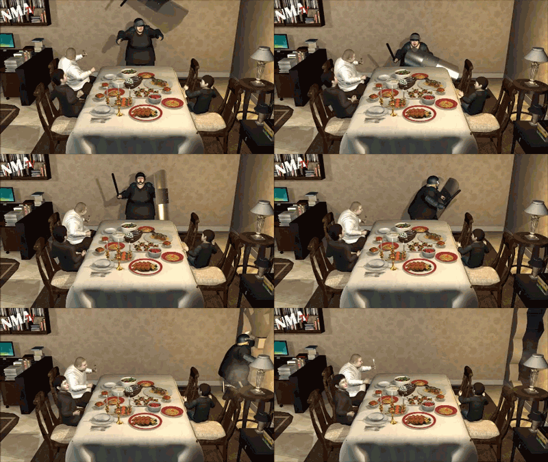
Black Friday GIFs, I Mean Forecast. Your Black Friday Forecast.

I hope you prepared yourself.

Because

A look at the meteogram (in descending order: temp/wind chill, rain, snow, freezing rain, sleet) . . .

Friday – Warmer Temps (Amidst the Misbehavior) – Wake Up 25°, High 47° read more

Happy Thanksgiving!

A look at the meteogram (in descending order: temp/wind chill, rain, snow, freezing rain, sleet) . . .

Overcast skies prevailed last night.  We did not have any snow, officially, at the airport. Temperatures aloft were well below freezing, but temperatures at the surface stayed in the upper 30°s. The problem really wasn’t the temperature profile, but there simply wasn’t enough moisture on the back edge of the clipper system to squeeze out anything of note. read more

Not Looking Good for Flurry Fans

A look at the meteogram (in descending order: temp/wind chill, rain, snow, freezing rain, sleet) . . .

Here’s what the radar and temps looked like at 9 PM:

The “Round 1” rain has exited east. read more

Flurries While We Sleep?

A look at the meteogram (in descending order: temp/wind chill, rain, snow, freezing rain, sleet) . . .

. . . earlier today had only rain in the forecast for us tonight. Notice now the inclusion of snow after midnight. read more

No Snow Shenanigans Expected Tonight. Just Rain.

A look at the meteogram (in descending order: temp/wind chill, rain, snow, freezing rain, sleet) . . .

. . . has only rain in the forecast for us tonight.

But, it’s going to be close. Our NWS published this graphic, showing snow close by: read more

3 Random GIFs

Editor’s note. Yesterday I sent to The Intern 2.0 three random GIFs, and challenged him to incorporate them into today’s whatever-this-is.

Today – Increasing Clouds – High 50°

A disturbance originating out of the Northern Plains will make its way towards Middle Tennessee. We will not see anything explosive . . . read more